
Trip Overview: Wilder Dam to Sumner Falls and Woodsville NH to Bradford VT, July 7-9, 2021. Three days on the water, 28 miles paddled, no portages.
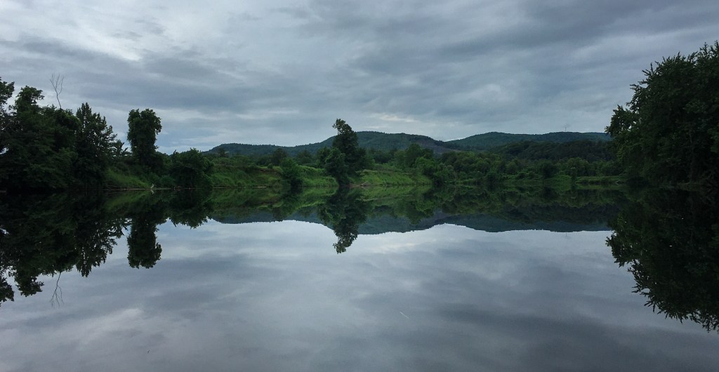
Returning to the Connecticut River for a three day trip after a pause in 2020 due to COVID. The forecast for this trip is constant rain with the possibility of thunder storms as tropical storm Elsa arrives in southern New England. To minimize the chance of getting caught on the river in a thunderstorm, we planned relatively short paddling days. The water level was high as June received a record amount rain.
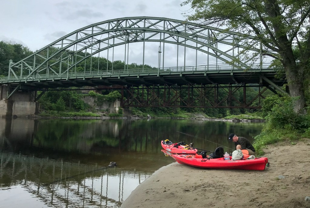
Day one was a 9.2 mile paddle from Wilder Dam to Sumner Falls. We parked at the “Boston Lot” just across from the portage on route 10. Hauling our kayaks across the street and down the portage trail to the river was fairly easy although as you near the river there are a set of steep steps to get down to the bank. This section of the river is very flat but it did have a decent current as you drop 75 feet over its course. We were able to paddle this section in about 3.5 hours which included a 45 minute break. We saw the first of many bald eagles we’d see on this trip. As you approach Sumner Falls there are prominent red warning signs to indicates its location. The portage trail is marked with a white sign on the Vermont bank. The trail head is directly behind the sign and won’t be visible until your just about on shore. You’ll want to pull out at the small sandy bank directly at the base of the sign. Going around the rock outcropping at the sign may lead you into the rapids or necessitate dragging your craft over sharp rocks. There’s a short steep path to get up to the Sumner Falls parking area. The Sumner Falls parking area is down a dirt road off of route 5. There is plenty of parking as rafting and paddling services also use this access point.
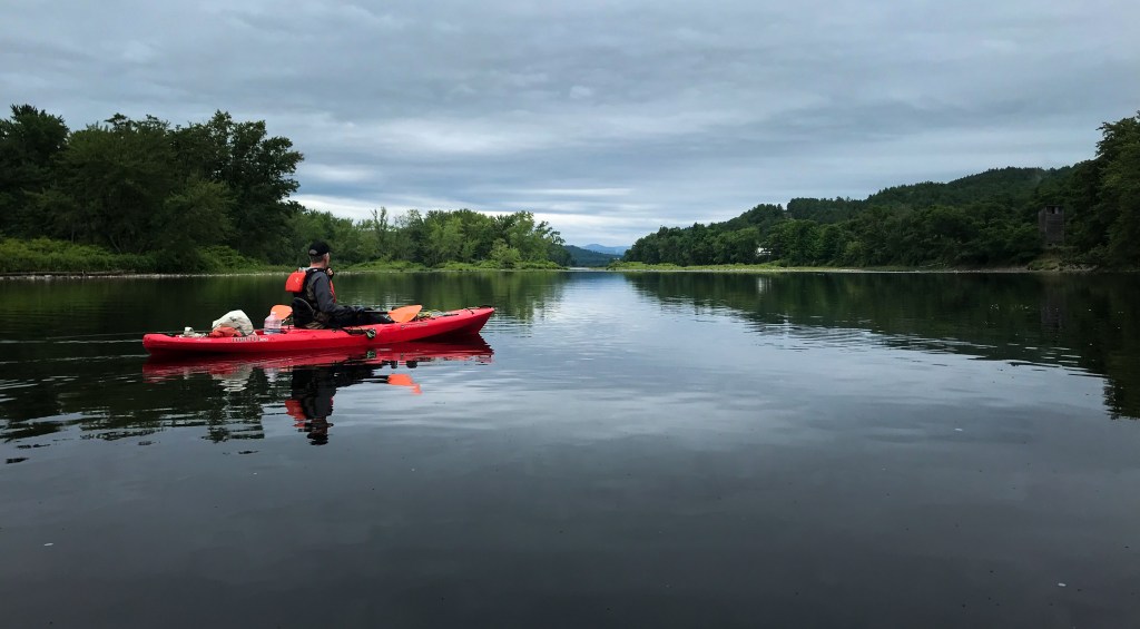
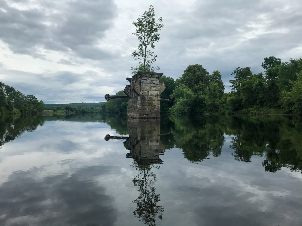
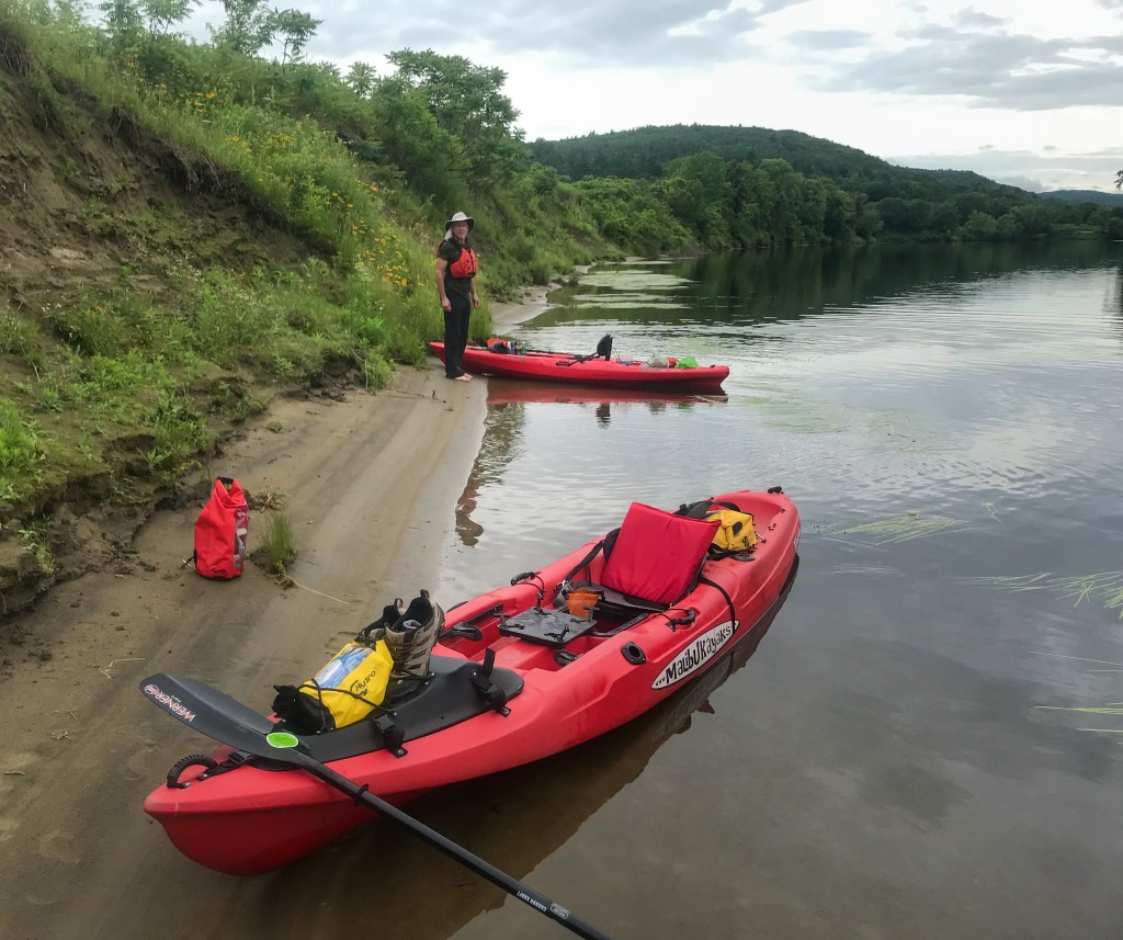
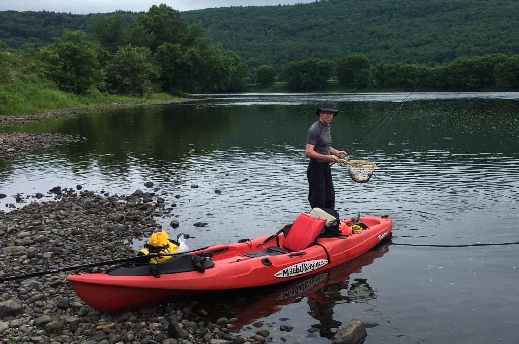
Day two was a 13 mile paddle from the route 302 bridge in Woodsville NH to Bedell State Park in NH. The parking area at the route 302 bridge is small and can probably handle about 4 or 5 vehicles. The Bedell State Park has plenty of parking and a boat ramp. This section of the river is also flat with a smattering of class 1 rapids here and there. You’ll be paddling through farm land and oxbows in this section with foothills lining the New Hampshire side of the river. We spotted several bald eagles and many herons along the way. VT route 5 and NH route 10 are never too far away so there will be some traffic noise on the river. Even with the high water level we were able to find a nice cobble beach to enjoy some coffee and lunch. About 20 feet off of the bank was a deep channel which produced several carp and bass.
Day three was a 5.8 mile paddle from Bedell State Park to Bugbee Landing access point off of Dow Meadow Lane. Dow Meadow ends in a field with a boat ramp and small dock. There is plenty of parking at this access point. The bald eagles were out for a third day in a row. To reach the pull-out access point you need to paddle up the Waits River. This is a slow moving stretch so paddling upstream would have been easy.
